
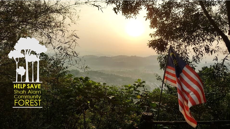
The Shah Alam Community Forest Society is dedicated to the conservation of the Shah Alam Community Forest (SACF) located between Setia Alam (Sect U13), Alam Budiman (Sect U10) and NusaRhu (Sect U10) in Shah Alam, Selangor.

SACF is an approximately 430 acres of selectively logged lowland rainforest. SACF forms a critical ecological corridor that connects the two remaining patches of Bukit Cerakah forest reserve: Subang Dam water catchment forest and Taman Botani Shah Alam, both which are believed to still home the endangered Malayan Tapir, among other threatened species.
SACF is currently owned by the State Govt (130 acres) and PKNS (300 acres) and is highly at risk of commercial development. The SACF Society was officially formed in March 2016 to attempt to save and gazzette this precious forest.
In 2019, the Shah Alam Community Forest Society was accorded with funding for a project from the Global Environment Facility/Small Grants Programme (GEF/SGP), implemented by the United Nations Development Programme (UNDP) on behalf of the three GEF Implementing Agencies – UNDP, United Nations Environment Programme (UNEP) and the World Bank – and executed by United Nations Office for Project Services (UNOPS).

Save the Shah Alam Community Forest
This project will raise awareness of the threats to the forest and plans to lead to decision makers adopting a roadmap to the creation of a community forest that will safeguard the ecology of the site, while providing recreational and education benefits for the community.
This project aims to save a patch of forest in Shah Alam, Selangor, Malaysia which is presently used by the community and is proposed to be reserved as Shah Alam Community Forest (SACF). The targeted communities for the community forest include the current users who are mostly the communities of surrounding townships within Shah Alam plus residents of the wider Klang Valley would benefit most from this project.
The forest would be managed by the community and serve as an ecological protection and potential wildlife corridor. Educationally, visitors will be able to appreciate nature at its best in the forest, streams, and lakes while exploring it recreationally through hiking, trail running and mountain-biking.
The project will involve a myriad of activities that are designed to lead to the protection of the forest starting with a developing the vision, engaging stakeholders, strengthened with a media campaign to create and spread awareness on the plight.
Communities will be able to get involved via activities driving awareness through habitat restoration, trail management and survey of the biodiversity and topography.

The southern half of SACF is considered to be state land and is at risk of being cleared for a road (solid red line on map above). This area has also been proposed to be cleared for a cemetery. Either of these plans could significantly degrade the site in terms of ecology, recreation and educational potential.
Roads are already particularly damaging as to the ecology of the site, with at least 12 tapirs having been killed while crossing the B49 highway (known as Persiaran Mokhtar Dahari) that was built in 2003. In addition to protecting SACF itself, there is a need for wildlife crossings over or under the B49 highway.
Overall, saving SACF would benefit both the flora and fauna in the ecosystem and the local communities who use this forest as an important educational and recreational site.